
Lenexa ZIP Code Coverage
The official Vision 2040 survey supplies the clearest city-specific list: 66215, 66219, 66220, and 66227 are its four core Lenexa ZIP areas. The table describes response geography, not legal borders or exact population. Several other ZIPs appear in an “Other” column, proving overlap and edge use while not making every address in them part of Lenexa. USPS verifies a mailing line; AIMS and Census maps test whether the parcel falls inside the city.
| ZIP | Areas Covered | Mailing Evidence | Notes |
|---|---|---|---|
| 66215 | Core Lenexa survey area | Southwest Johnson County postal geography | Check city line by parcel |
| 66219 | Core central/eastern area | Used by Lenexa City Hall | Mailing line is not boundary proof |
| 66220 | Core Lenexa survey area | Preferred Lenexa last line since 2001 | Older sources may say Shawnee Mission |
| 66227 | Core western/northwestern area | Preferred Lenexa last line since 2001 | Verify each address |
| 66285 | Current class not established | Named in 2001 USPS change | Use exact-address verification |
The Lenexa ZIP code directory must keep uncertainty visible. A postal name is a routing instruction, while incorporation is a municipal fact.
Four Core Lenexa ZIP Areas
The four core areas offer a practical first cut for Lenexa searches, but no official source provided a public resident count for each. Do not convert Vision 2040 survey percentages into population totals. Current Lenexa covers roughly 34.45 square miles, with Old Town parcels in the east and newer planned neighborhoods toward the west. That growth pattern crosses postal polygons instead of following them.
Subdivision names can be more stable than a mailing city. Preserve Canyon Creek, Falcon Ridge, Four Colonies, Oak Park, Country Hill West, Greystone Estates, Parkhurst, Post Oak Farm, Seven Hills, or The Cedars when one appears in a parcel or planning record.
Verify Lenexa ZIP Codes at USPS
The USPS ZIP Code Lookup is the final source for the current mailing form of one address. Enter the full street line rather than relying on a city-name list. Save the standardized city, state, five-digit ZIP, and ZIP+4 result with the date searched. An older directory should keep its original wording beside that modern result.
The USPS screen below is the correct starting point for exact-address confirmation.
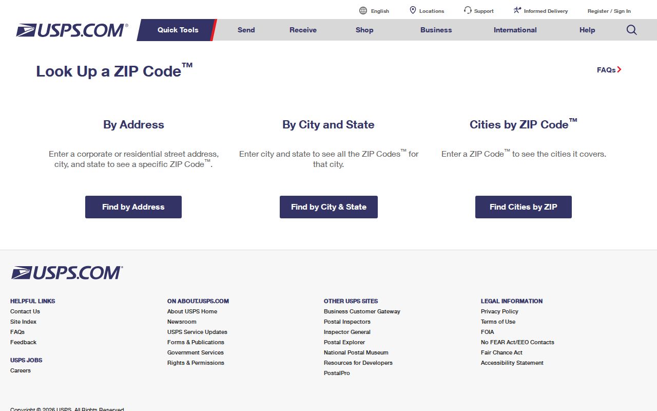
The tool verifies mail delivery. It does not state who lives there, establish ownership, or decide whether the parcel lies within the Lenexa city boundary.
Find Lenexa Residents by ZIP
A ZIP narrows geography, but the public portals do not offer one master list of people. AIMS can locate a ZIP polygon and then test addresses or parcels. The tax portal accepts quick reference, street address, owner name, or business name; it does not advertise a public ZIP-wide export. Voter information requires its own official request route and restrictions.
- Verify the exact mailing line with USPS and retain any older postal wording found in a source.
- Open the AIMS ZIP search, locate the polygon, and check whether the map is restricted to the current extent.
- Select a specific parcel and save its property ID, KUPN, situs address, owner, and mailing-address fields.
- Use the county tax search or authorized voter-data request only for the narrow fact each source can confirm.
- Once the ZIP has narrowed to a named road, use the Lenexa street directory for street-level work.
This ZIP code directory workflow avoids treating tax ownership as proof of residence. Mailing, situs, and owner fields can describe three different places or people.
Search Lenexa ZIP Layers in AIMS
Johnson County AIMS offers ZIP Code, city, address, owner, parcel, plat, subdivision, legal-description, intersection, and district modes. ZIP is a map filter, not a household index. The results become useful when a user selects a particular parcel and reads its linked fields.
| Search field | Input | What it establishes |
|---|---|---|
| ZIP Code | Five digits | Postal polygon displayed by AIMS |
| Address | Street number and name | Matched situs and nearby parcels |
| Owner | Name | Tax ownership matches, not occupancy |
| Parcel or KUPN | County identifier | One property record and map location |
| Subdivision | Recorded name | Plat-based neighborhood context |
The captured AIMS view below shows the county map and its ZIP search route.
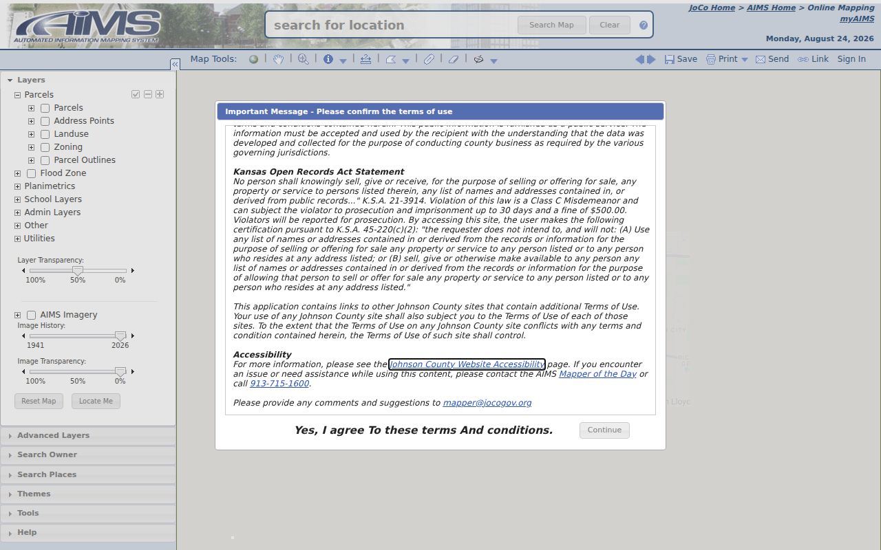
A selected parcel may expose legal description, block and lot, subdivision, plat, owner mailing address, zoning, taxing unit, year built, and coordinates. Save identifiers before moving to another county system.
Lenexa ZIPs and City Limits
USPS delivery geography and Lenexa city limits answer different questions. An address with a Lenexa last line can sit outside the incorporated city, while a city parcel may use another mailing line. Compare the October 1, 2025 AIMS ZIP map with the Census 2025 Lenexa boundary map, then test the exact parcel.
- ZIP
- A five-digit postal delivery area, not a city border.
- ZIP+4
- An added four digits that narrow mail to a smaller delivery segment.
- PO-box ZIP
- A code or use assigned to post-office boxes; no such Lenexa classification was verified here.
- Unique ZIP
- A ZIP assigned to one high-volume organization; 66285 was not verified as one.
- Carrier route
- A postal delivery path that can cross local administrative lines.
Edge ZIPs Around Lenexa
Vision 2040 records 66216, 66214, 66210, 66061, and 66062 in its “Other” responses. They are overlap evidence, not a fifth through ninth set of confirmed Lenexa ZIP boundaries. The 66061 and 66062 codes are associated with the Olathe area in regional data. Nearby AIMS labels such as 66217, 66218, and 66018 also require exact-address or parcel evidence before being called Lenexa-serving.
| 66216, 66214, 66210 | Johnson County edge or overlap clues; verify at USPS and AIMS. |
|---|---|
| 66061, 66062 | Olathe-area codes that appeared among survey responses. |
| Other map labels | Nearby polygons are not confirmed Lenexa coverage without a matched address. |
This distinction keeps the Lenexa ZIP code directory useful without overstating what a survey table or countywide map proves.
Lenexa ZIP Names Changed
USPS Postal Bulletin 22062 changed the preferred last line from Shawnee Mission to Lenexa for 66220, 66227, and 66285 in 2001. That postal quirk matters in deeds, city directories, school records, photos, and family papers. An older Shawnee Mission address can still point to the same physical place later labeled Lenexa.
Preserve the source line before adding a standardized version. Search both forms, plus subdivision and parcel identifiers, when a name seems to vanish after 2001. A changed last line is not evidence that a household moved.
Connect Lenexa ZIP to Parcel
AIMS Location Maps bridges postal and land descriptions. It can show property ID, alias, site address, legal description, block and lot, subdivision, plat book and page, KUPN, quick reference, owner billing address, zoning, land use, year built, coordinates, appraisal reports, tax links, and nearby addresses. These fields explain whether two mailing forms refer to one parcel.
The situs address is the physical property location. The mailing address is where the tax notice goes and may be outside Lenexa. A legal description ties the land to a plat or survey independent of its current street wording. Use all three rather than forcing them into one “resident address.”
Limits of a Lenexa ZIP Directory
No public county screen was found that returns every person in one ZIP. The tax portal searches addresses and names, while AIMS maps geography and parcels. Voter data is requested through the Johnson County Election Office or Kansas Secretary of State under statutory limits, and the county page does not advertise a public ZIP-only resident screen.
A ZIP code directory therefore narrows a search; it cannot prove current occupancy, household membership, or city residence. Confirm a mailing line at USPS, a city boundary through mapped parcel evidence, ownership through the tax roll or deed, and a historical name through the record that actually printed it.
Note: Postal, parcel, voter, and directory sources update on different schedules, so record each source date and never merge them into one unsupported conclusion.