
Lenexa Block Records at a Glance
Public files describe land and civic geography better than they describe households. For Lenexa neighbors, AIMS shows the parcels around an address, while the county tax card supplies an owner and mailing address for one selected parcel. VoterView is an individual confirmation tool, not an address browser. The city's association inventory adds neighborhood names, activities, and voluntarily shared contacts without becoming a member roster.
| Source | What it reveals about the block | How to reach it |
|---|---|---|
| Johnson County AIMS | Parcel outlines, address points, ownership and map layers | Free map and Location Maps search |
| County tax card | Tax owner, mailing contact, situs address and legal description | Free property search |
| VoterView and voter data | Individual registration or requested district data | Name and birth date, or restricted paid request |
| Lenexa HOA inventory | Association area, estimated homes, meetings, activities and shared contact | Free city list, not comprehensive |
| Library and JoCoHistory | Past households, street scenes, obituaries and community context | Catalog, licensed database or research desk |
Ownership is not occupancy. A trust, business, estate, or owner at another mailing address may hold the parcel. Renters and other household members may never appear on the tax card. That distinction should remain clear whenever names are collected around a Lenexa block.
Mapping Lenexa Neighbors by Parcel
The Johnson County AIMS map supports address, owner, parcel, plat, subdivision, ZIP, city, legal-description, intersection, and district searches. It can show parcel outlines and address points at the same extent. There is no need to assume that every parcel has the same street number pattern.
- Search the known Lenexa address and zoom until the target parcel and adjacent polygons are clear.
- Open the parcel panel. Save its Tax Property ID, Quick Reference ID, KUPN, situs address, mailing address, subdivision, lot, block, and legal description.
- Click each parcel that touches the target or sits directly across the street. Record the same fields and the record date.
- Open the county tax detail for each parcel to confirm the owner and distinguish the situs from the mailing line.
- Use the Lenexa street directory only when the inquiry expands beyond the immediate block.
This address-to-parcel-to-owner flow keeps the search tied to official identifiers. The map is an informational planning tool, not a survey or deed. If a boundary or ownership point matters, check the recorded instrument and legal description.
Reading a Lenexa Parcel Card
The county tax detail can list the tax owner, mailing address, property situs, valuation, exemptions, tax unit, and legal description. It may also link to payment data. The sample parcel page below comes from the official Johnson County tax system.
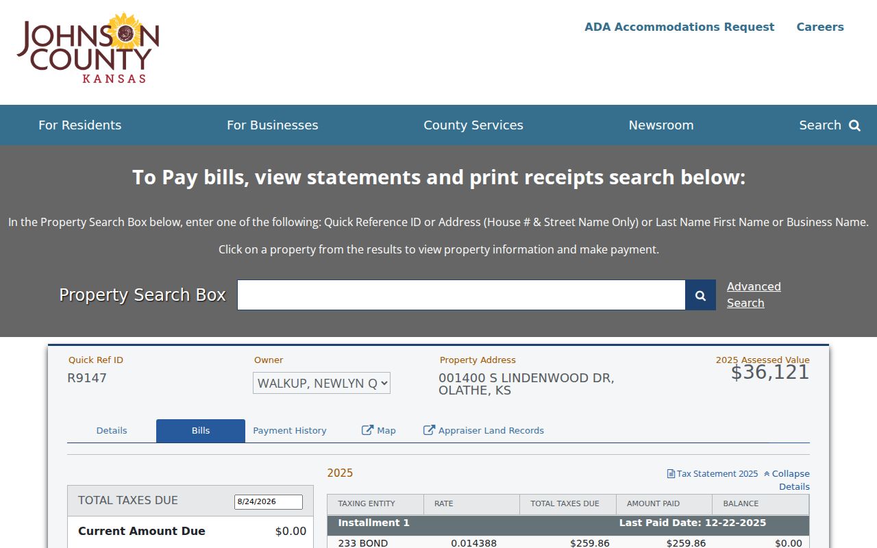
The visible Quick Reference ID is a stable handoff to another county record, while the displayed owner remains a dated tax fact.
The county's Property Tax Division page explains the official search and correction routes.
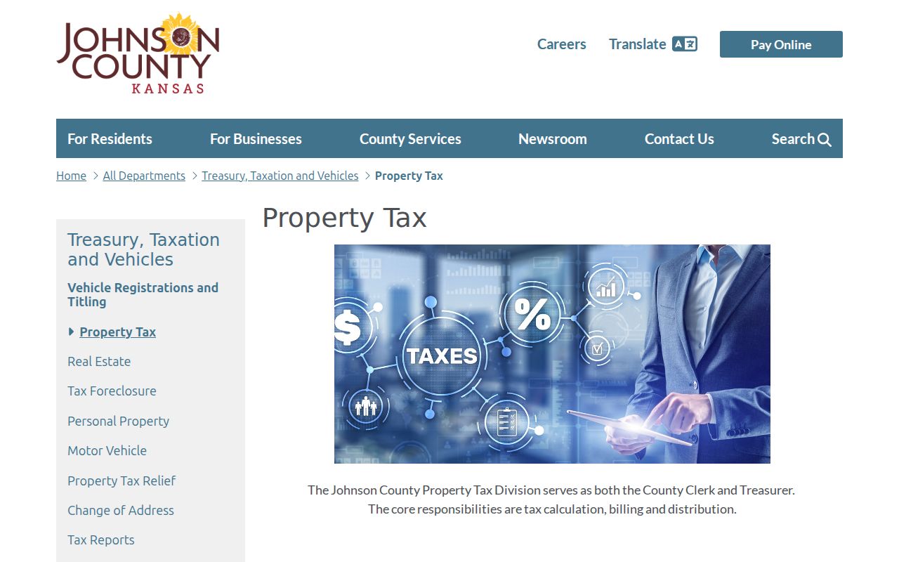
Use county contact channels for a wrong owner or mailing entry instead of trying to correct the map through a third party.
Property-card myth. A tax owner is not a complete household list, and a mailing line is not proof that the owner occupies the Lenexa parcel.
Lenexa Neighbors Share Map Layers
A block is also a set of public-service boundaries. AIMS layers can show city, ward, precinct, school district, fire district, sheriff area, ZIP, tax unit, zoning, flood data, plats, and subdivisions. Two homes that look close on the ground may fall on different sides of a precinct, school, plat, or flood boundary.
Keep the parcel key before turning layers on and off. Neighborhood names such as Canyon Creek, Falcon Valley, Four Colonies, Oak Park, Country Hill West, Greystone Estates, Parkhurst, Post Oak Farm, Seven Hills, and The Cedars can help match a parcel to a subdivision or association. They are search keys, not legal boundaries unless the recorded plat or covenant says so.
Note: A postal ZIP, subdivision name, HOA area, and Lenexa city limit may overlap without sharing the same border.
Lenexa HOA Community Contacts
The City of Lenexa HOA inventory is expressly non-comprehensive. Associations choose whether to share information. Entries can include the neighborhood location, approximate number of homes, meeting details, activities, common services, and a contact. The city does not present the list as a directory of members.
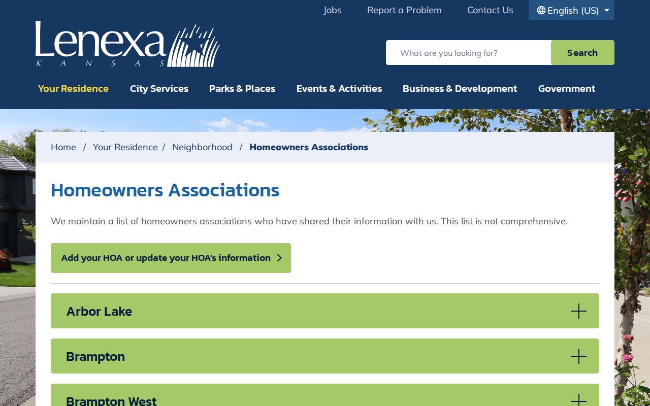
The inventory is most useful after AIMS supplies the subdivision name, since a street name alone may cross more than one community.
City HOA inventory
Use the published location, home count, meetings, activities, services, and voluntary contact fields.
Association contact
Ask about public meetings, covenants, common areas, or community events. Do not request a private member list.
City Clerk
For a specific city-held public record, call 913-477-7550 or use Lenexa's non-police records portal.
Meeting dates and open activities can help new Lenexa neighbors make contact in a normal community setting. A private roster, gate list, email list, or resident phone list does not become public merely because an association exists.
Lenexa Voter Data by District
Johnson County VoterView asks for an individual's name and date of birth and can return registration, polling place, districts, and a sample-ballot route. It does not offer an address-only block search. Kansas law can also conceal a residence address when disclosure would cause an unwarranted invasion of privacy or threat.
The Johnson County voter information request offers county or district data with defined fees and restrictions.
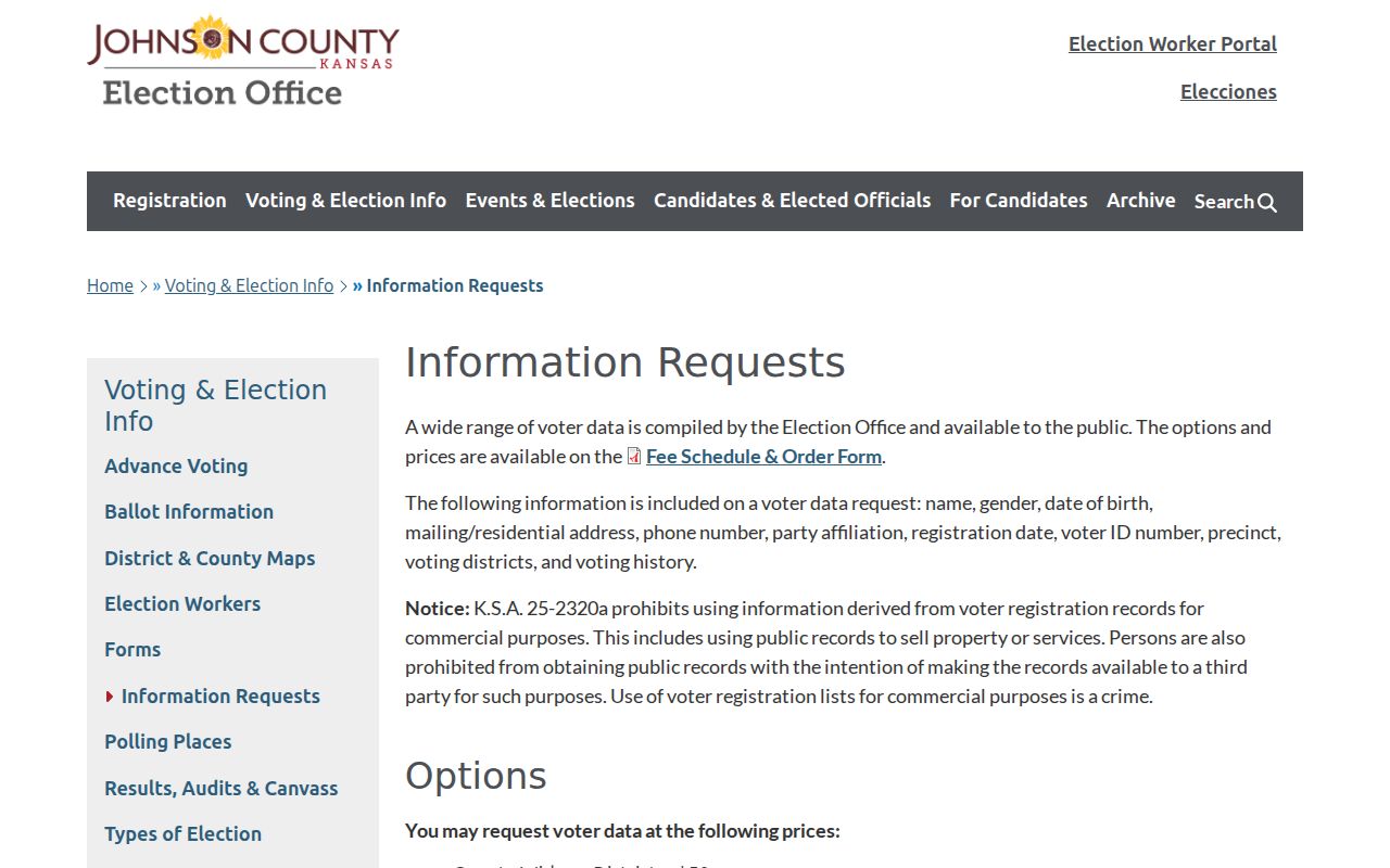
The request can include names, addresses, dates of birth, party, precinct, voting districts, and voting history, but Kansas bars commercial use. A raw block roster should not be republished.
For ordinary civic needs, use parcel layers to identify the precinct and then consult election maps or sample ballots. Contact the Election Office for a wrong district or registration record. Voter registration shows a claimed, maintained registration address at a point in time, not every person who lives on a Lenexa block.
Official Lenexa Neighbor Sources
Commercial neighbor tools often merge old address files, marketing data, and copied public records. They may hide sources, charge for stale profiles, or combine two people with the same name. Official sources are narrower, but each identifies its keeper, record date, correction route, and legal limit.
| Point of comparison | Official Lenexa or Johnson County source | Commercial category |
|---|---|---|
| Purpose | Parcel, tax, district, plat, or public association fact | Broad profile assembled from mixed data |
| Source date | Shown or available from the custodian | May be unclear |
| Correction | County, city, election, or record keeper | Separate vendor process |
| Occupancy | Usually not claimed by a property record | May infer it from old sources |
Use AIMS and the tax roll for the land question, VoterView for one's own registration check, and the city HOA list for community contact. A larger profile is not necessarily a more reliable answer about Lenexa neighbors.
Historical Lenexa Block Clues
Modern parcels do not tell the whole story in Old Town or along former farm and rail land. Lenexa began with an 1869 railroad plat, and later growth moved from rural tracts to subdivisions and City Center development. The original lot and block, plat name, legal description, and right-of-way can bridge an old address to a modern parcel.
JoCoHistory's Lenexa Historical Society collection includes thousands of images grouped around people, families, houses, businesses, cemeteries, events, and transportation. Johnson County Library adds yearbooks, maps, community histories, and obituary citations. Public church records, city agendas, and planning packets can add dated civic context without exposing a private neighborhood roster.
Search the old place name as printed. Lenexa's namesake appears with multiple spellings, including Na-Nex-Se and Ne-Nex-Se, and older postal or historical material may use Shawnee Mission. Preserve the exact wording before deciding that two block records describe different places.
Requesting a Lenexa Block Record
When a public map cannot answer the question, ask for a specific permit, plat, covenant, public meeting packet, planning file, or other non-exempt record. Lenexa's city clerk is the official city custodian. Non-police requests use the online public-record route, while police files use a separate Police Records process. County tax, deed, election, court, and archive records stay with their county keepers.
A useful request names the address, record type, date range, project or association, and any parcel or case number already found. Under the Kansas Open Records Act, the agency should respond as soon as possible and by the end of the third business day, unless it explains why more time is needed. Fees may cover actual search, review, redaction, and copy work.
Note: Ask for the public document, not an unrestricted list of people who might live near the Lenexa address.
Privacy for Lenexa Neighbors
Utility accounts, delivery data, DMV addresses, juvenile files, sealed court records, and private household details do not become public block directories. Kansas Safe at Home supplies a substitute address for eligible participants. Protected voters may have a residence address concealed, and eligible protected people can seek restricted identifying information in AIMS.
Missing data can be a deliberate safety measure. Do not work around it with another dataset. A parcel owner, mailing contact, voter, association contact, and current occupant can all be different people, and the record date matters.
Lawful use. Learn about a Lenexa block for civic, historic, or personal safety reasons. Never watch, stalk, harass, threaten, or intimidate your neighbors.