
Walk a Lenexa Street by Address
A sound Lenexa street directory search moves from the address to stable parcel facts before it moves to names. The tax roll and AIMS show ownership evidence, not a complete household. A deed confirms a recorded transfer. A directory may show a listed occupant for one year. Voter evidence is available only through the channels and limits Kansas law permits. Keep the source and date beside each name so a former owner is not mistaken for a present resident.
- Enter the house number and street name in the Johnson County tax search. Save the Quick Reference ID, legal description, situs address, owner, and mailing address.
- Open the parcel in AIMS. Turn on parcel outlines and address points, then inspect the next parcel along the same frontage.
- Use the current owner and legal description in the Register of Deeds index. Read the deed rather than treating the tax card as proof of title.
- For one known person, use VoterView with the required name and date of birth. It is not a whole-street search.
- For an earlier year, check the correct Polk or cross-reference volume at the library and record the printed address exactly.
This sequence keeps four different claims apart: where the parcel lies, who receives its tax bill, who holds recorded title, and who was listed at the address on a given date. Those facts may point to the same person, but they often do not.
Lenexa Address to Parcel ID
The Johnson County property-tax search accepts a Quick Reference ID, an address, a person name, or a business name. For an address, use the house number and street name without extra city and state text. The returned card can show owner names, situs and mailing addresses, legal description, map number, values, tax units, exemptions, and value history. Save the ID before opening a second system.
The Lenexa Property Look Up Tool provides a city route into this parcel-based research.
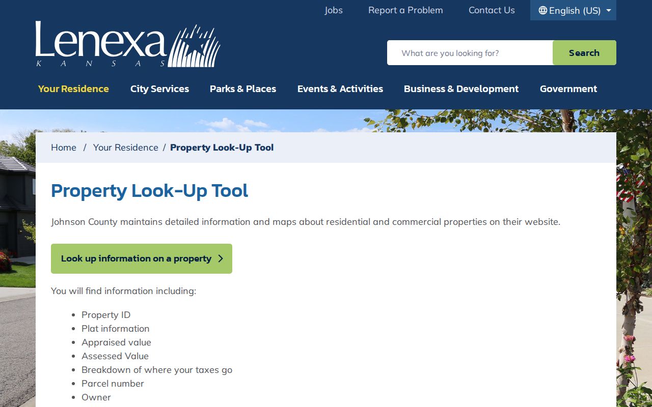
The city screen confirms that a Lenexa address search should lead into official property data, not an unsupported list of occupants.
| Search field | Entry | Best use |
|---|---|---|
| Property Search Box | House number and street | Find a possible parcel |
| Quick Reference ID | Exact county identifier | Return to the same tax card |
| Owner name | Last name, then first | Compare same-name holdings |
| Business name | Exact entity spelling | Find entity-owned parcels |
The county's separate AIMS Location Maps and Information search exposes the address and parcel fields used to carry the same Lenexa property into mapping.
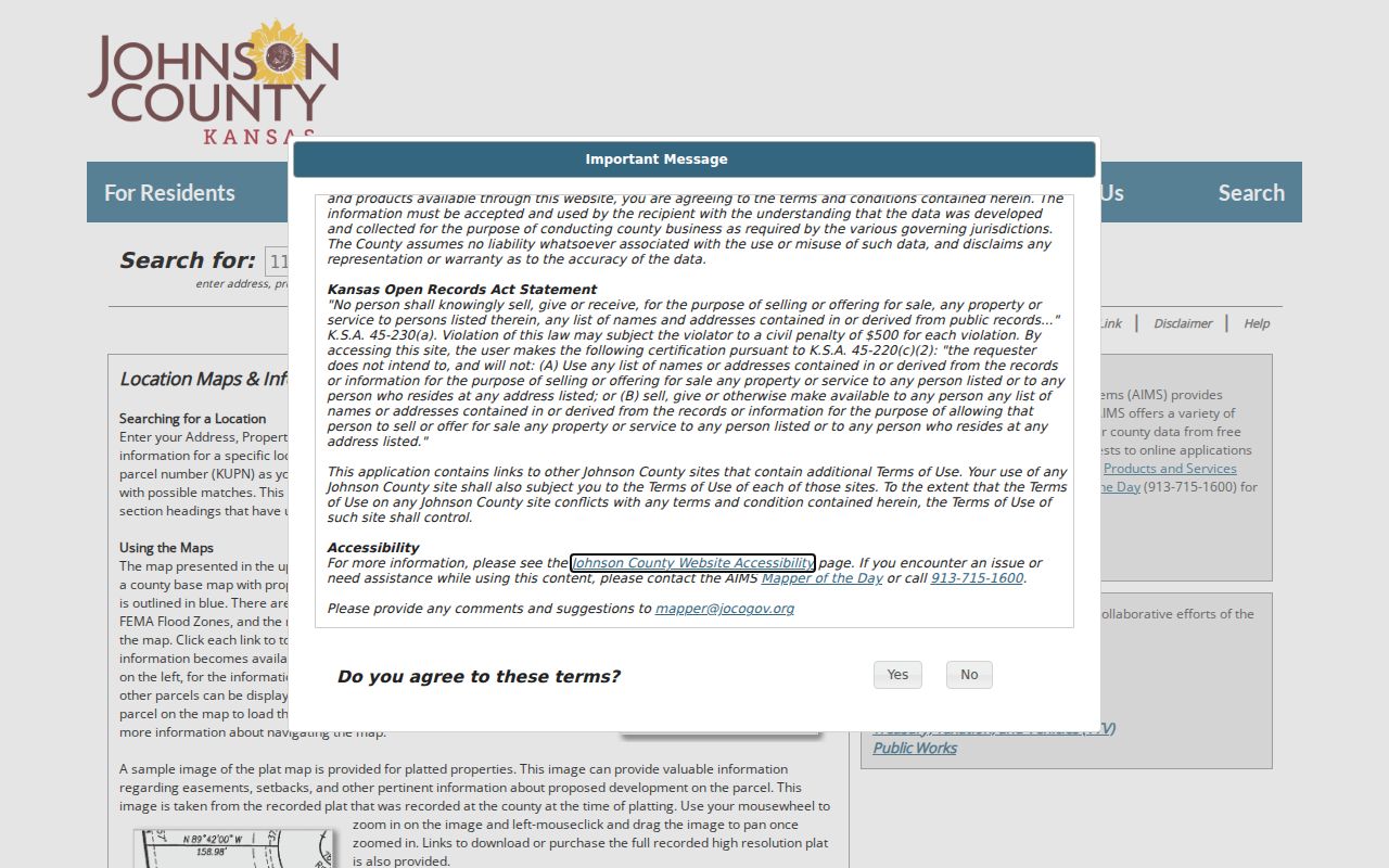
This search view helps preserve the KUPN, legal description, subdivision, lot, block, and coordinate clues before the street investigation moves to a deed or plat.
Browse Lenexa Streets in AIMS
The Johnson County AIMS parcel and address map turns one match into a street-by-street view. Search an address, leave parcel outlines and address points visible, then click parcels along the road. “Limit search to map extent” narrows results to the part of Lenexa shown on screen. “Zoom to result” centers a known parcel. Zoning, flood, plat, subdivision, ward, precinct, school, ZIP, fire, and tax-unit layers add context, but none identifies every person in a home.
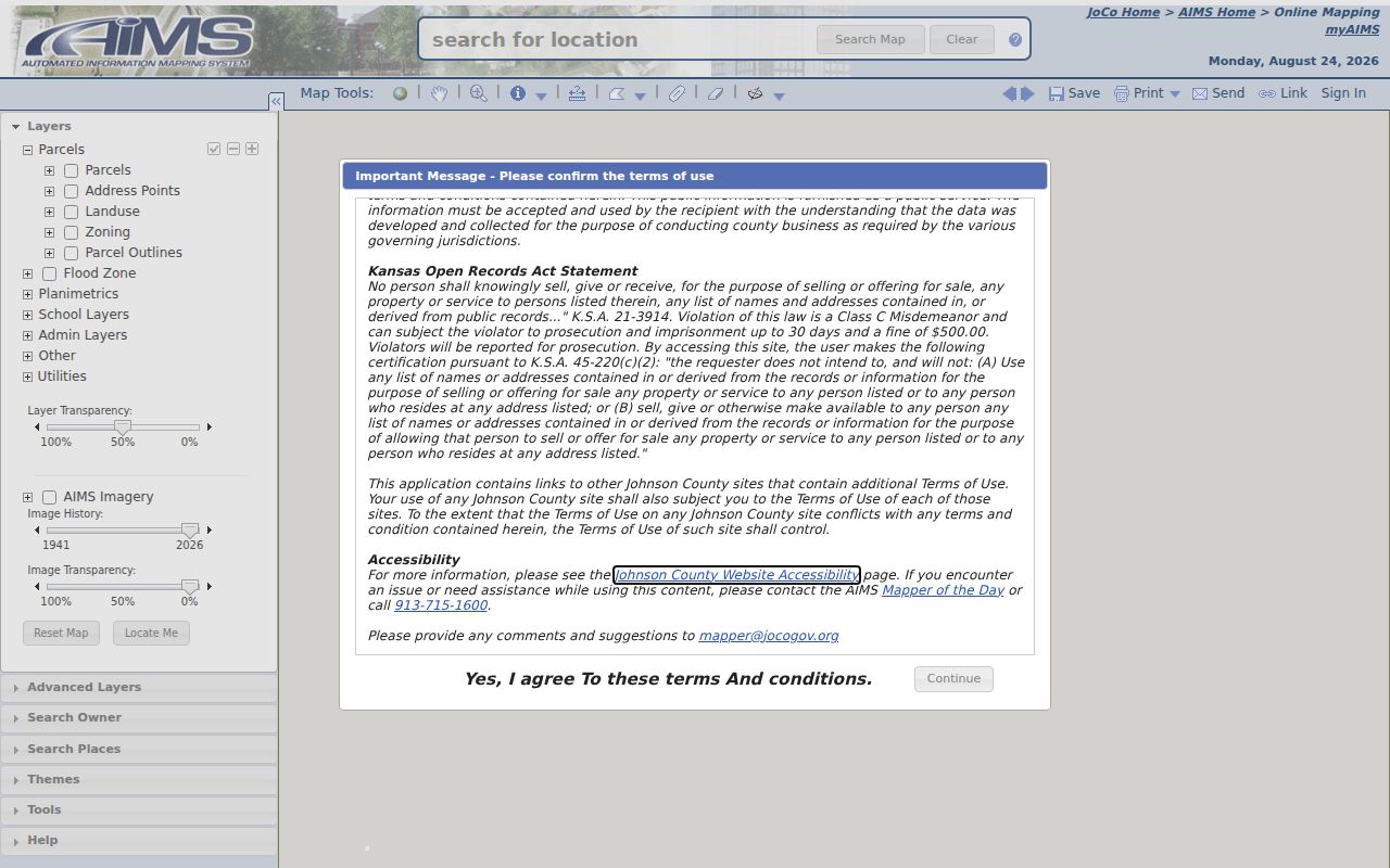
The mapped parcel shapes make adjacency easy to inspect. They are planning references, not boundary surveys, so legal dimensions still require a deed, plat, or survey.
The AIMS online mapping guide explains the viewer and its county data.
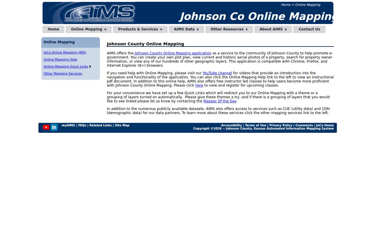
Use the guide to interpret a layer before treating its line or label as evidence in a Lenexa street directory entry.
Lenexa JCLR Search Fields
Johnson County Land Records, commonly called JCLR, supports owner, address, parcel ID, and KUPN searches. It can also accept an advanced batch of parcel numbers or one address per line. Results may be mapped, while tabs connect property information with photographs, documents, plats, permits, utilities, and location data.
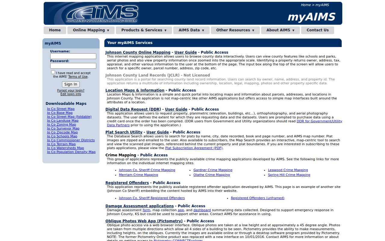
The application is most useful after an address has been reduced to a stable county identifier.
| JCLR mode | Format | Resulting clue |
|---|---|---|
| Address | Text or typeahead | Situs parcel match |
| Parcel ID | County identifier | Exact property panel |
| KUPN | Kansas parcel number | Cross-system identity |
| Name | Owner typeahead | Tax-owner candidates |
| Advanced batch | One item per line | Several addresses or parcels |
Note: Save the Tax Property ID, Quick Reference ID, and KUPN before switching portals, because names and street lines can change.
Read Lenexa Address Terms
Street records use several terms that prevent costly mix-ups. A tax mailing line may belong to an owner or manager elsewhere, while the situs is the physical Lenexa parcel. The legal description carries the land identity through many street-name or numbering changes.
- Parcel
- A mapped unit of land with county tax and map identifiers.
- Situs address
- The physical street location of the parcel, separate from the tax mailing address.
- Plat
- A recorded map that lays out lots, blocks, streets, and a subdivision.
- Criss-cross directory
- A printed directory arranged by address or telephone number rather than only by surname.
The distinctions matter most when a trust, company, estate, or out-of-city mailing address appears on the card. Ownership evidence should never be restated as certain occupancy.
Link Lenexa Parcels to Deeds
The Johnson County Register of Deeds document library is keyed chiefly by people and legal land clues, not by a clean street browse. Start with the current owner as grantee, read the purchase deed, and preserve its grantor, recording date, instrument or book/page reference, and legal description. Search the grantor as an earlier grantee to move backward.
The county states that its land-record index reaches from 1920 to the present. The legacy library separately identifies documents from 1920 through 1987 and plats from 1866 forward. Missing online material may still be available at the public computer, by email or mail request, or as a copy from the office. A suspicious filing must be checked directly because Johnson County does not offer a property-fraud alert service.
Lenexa Permits Along a Street
Property changes leave a second address trail with Lenexa Community Development. The Lenexa planning and zoning toolkit points to plans, plats, zoning, permits, and review material. Ask for a named address, project, plat, or date range. Permit applicants and owners named in a file are evidence about that project, not proof of everyone who occupied the site.

The city toolkit is the correct route for parcels within Lenexa. Johnson County code records apply to unincorporated areas, so jurisdiction should be checked before sending a request.
Lenexa Old Town Address Bridge
Lenexa began with an 1869 railroad plat of about 42 acres. Old Town, the rail corridor, and Santa Fe Trail Drive preserve parts of that early geography. A modern street line may not match an old directory, deed, or right-of-way description. No official source located a citywide renumbering year, so do not invent one or assume that similar names mark the same road.
Bridge the gap with the legal description, original plat, subdivision, old map, and AIMS Historic Right-of-Way Document Search. That separate resource covers dedications, vacations, and road alterations from about 1850 through 1949. The original plat markers installed in 1996 can also help connect Old Town’s physical corners to later parcel research.
Lenexa Records Indexed by Address
No single Lenexa street directory contains all residents. Each official set answers a narrower question. The table keeps the access routes and limits visible.
| Record | Keeper | Street evidence | Access |
|---|---|---|---|
| Tax card | Johnson County Tax | Owner, situs, mailing line, legal description | Online, phone, counter |
| AIMS/JCLR | Johnson County AIMS | Parcel geometry, layers, plats, permits | Public map and property tools |
| Deeds and plats | Register of Deeds | Transfers, liens, covenants, lot and block | Index, terminal, mail, copies |
| Planning file | Lenexa Community Development | Project, permit, zoning, review dates | Posted records or focused KORA request |
| Historical directories | Library and FamilySearch | Listed occupant or business for one year | Catalog, library databases, physical volumes |
| Voter data | Election Office or state | Registration address and districts when lawfully supplied | Individual lookup or restricted file request |
The modern address chain belongs here. Detailed historical volumes are covered on the Lenexa city directory page.
Lenexa Voter Records Are Limited
Johnson County Voter View searches one registered voter with a name and date of birth. It may return registration status, polling place, districts, and a sample ballot. It does not accept an address and disclose every voter on a Lenexa block.
A separately requested voter file can contain residential and mailing addresses, precinct, districts, party, and voting-history fields, but fees and K.S.A. 25-2320a restrictions apply. Protected addresses and Safe at Home participants are not material for a public street roster. Treat a missing result as inconclusive.
Lenexa Deed Search Is Changing
As of August 24, 2026, Johnson County expects its Enterprise Records Management system in fall 2026. The old subscription service ended July 1, while current subscribers were set to continue until launch. The county expects new accounts, free watermarked viewing, and charges when a user prints or requests certification.
Portal screens and account steps may therefore differ during a Lenexa street directory search. The public computer at 111 S. Cherry Street in Olathe, an email request to the Register of Deeds, and ordinary mail remain sound fallbacks. Researchers should request an appointment for the public computer.
Check a Lenexa Street Directory Claim
A name becomes more reliable when two dated sources agree on the same parcel. Match the situs, legal description, and stable property ID first. Then compare the deed date, tax owner, permit date, or directory year. A same-name match elsewhere in Johnson County is weak evidence unless the parcel facts also align.
When a source conflicts, prefer the record made for the point being tested. Use a recorded deed for title, a tax card for tax billing, a survey or recorded plat for legal dimensions, and a year-specific directory for its printed listing. None should be stretched into a full household claim.
Limits of Lenexa Street Records
A street directory cannot reliably list every renter, child, guest, or household member. Public property cards concern tax ownership and billing. Utility customers and delivery data are not public directory fields. Federal law protects motor-vehicle address data except for permitted uses. Individual voter results are not a complete block roster, and Kansas protections can conceal a threatened person’s residence.
Sealed or juvenile court records, restricted vital records, and Safe at Home addresses also remain outside a public address search. Commercial directory data should not be treated as an official correction when an official source is silent. Confirm a current fact with its custodian, and keep old directory entries labeled by year.
Lawful use. Use Lenexa address records only for lawful personal research, property history, genealogy, or civic review. Never use them to track, intimidate, stalk, or harass anyone.